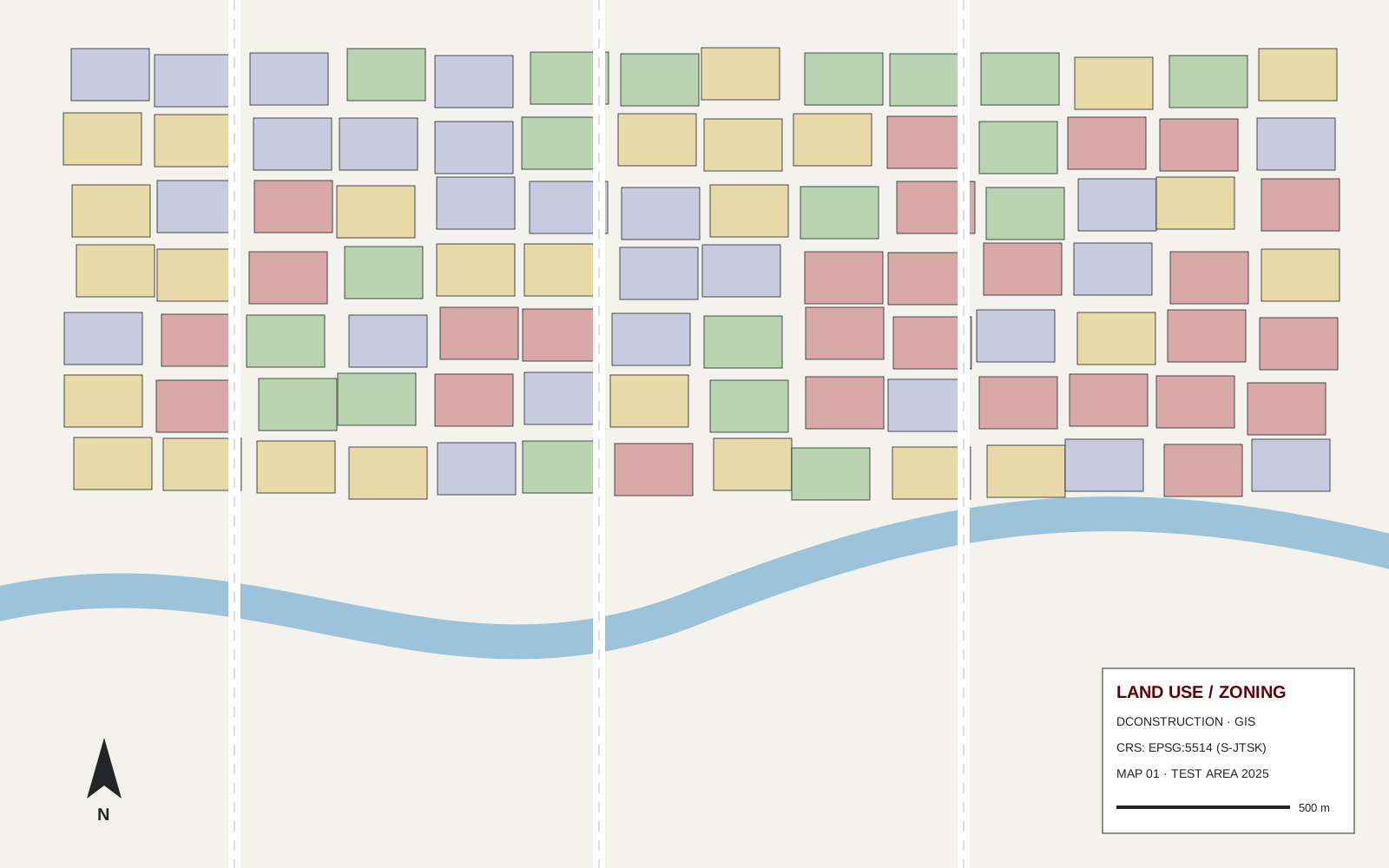
Test GIS City District Analysis
ExploreGIS analysis of a city district in QGIS: land use, building density, topography and cadastral data prepared for urban planning.
Loading
Loading

GIS analysis of a city district in QGIS: land use, building density, topography and cadastral data prepared for urban planning.

Employee 1
Developer

Employee 2
Developer Engine

Employee 3
Software Developer
Employee 1
Developer
Employee 2
Developer Engine
Employee 3
Software Developer
Employee 1
Developer
Employee 2
Developer Engine
Employee 3
Software Developer
Employee 1
Developer
Employee 2
Developer Engine
Employee 3
Software Developer
Employee 1
Developer
Employee 2
Developer Engine
Employee 3
Software Developer
Employee 1
Developer
Employee 2
Developer Engine
Employee 3
Software Developer
Employee 1
Developer
Employee 2
Developer Engine
Employee 3
Software Developer