
Created by DConstruction
Test GIS City District Analysis
Year: 2025
INDUSTRIES
Urban Planning
ANALYSIS TYPE
Land Use Mapping
LOCATION
Europe
SOFT
QGIS
SQUARE
Private
Overview
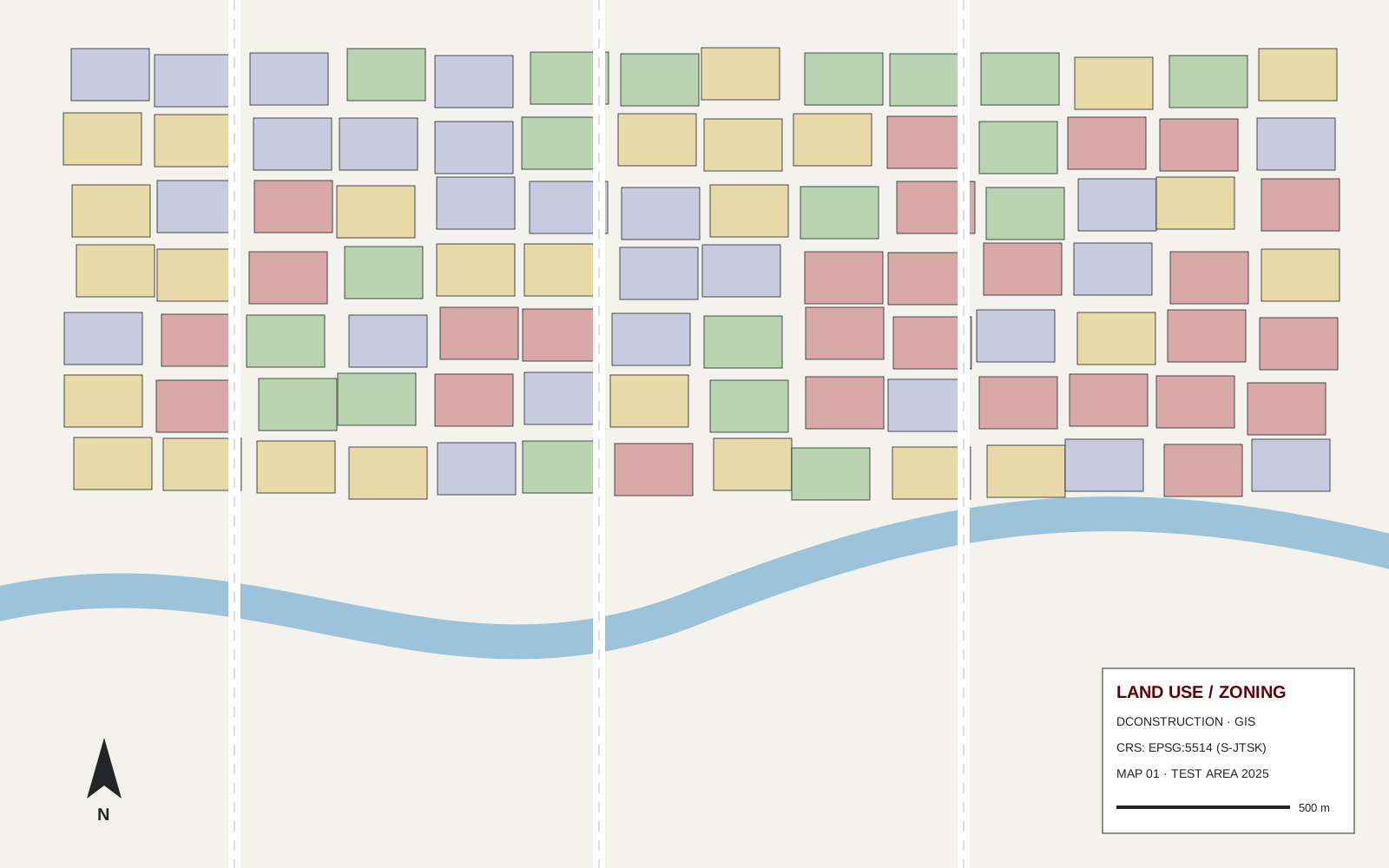
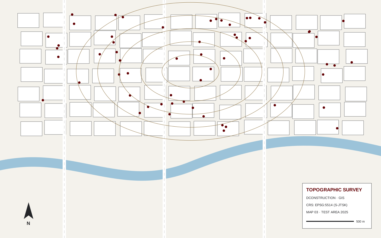
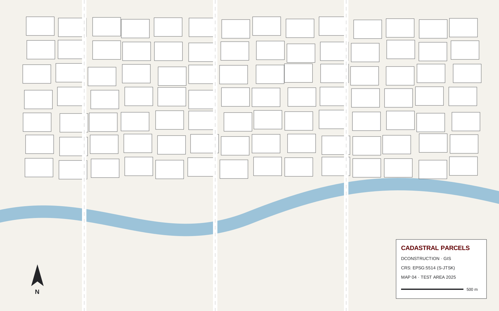
We collected and processed open cadastral, topographic and survey data for a city district and turned it into a consistent GIS database with thematic layers for planning decisions.
Maps
4 maps
Project Scope
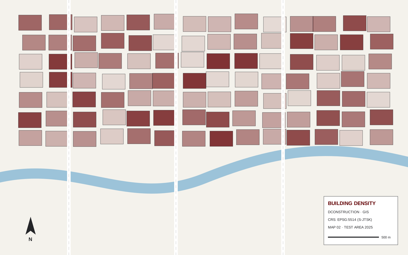
The scope covered data cleanup, coordinate system unification, land use classification, density analysis and a set of four thematic maps.
Result
The planning team received a structured GIS project and print-ready maps that were used to define development zones and infrastructure priorities.